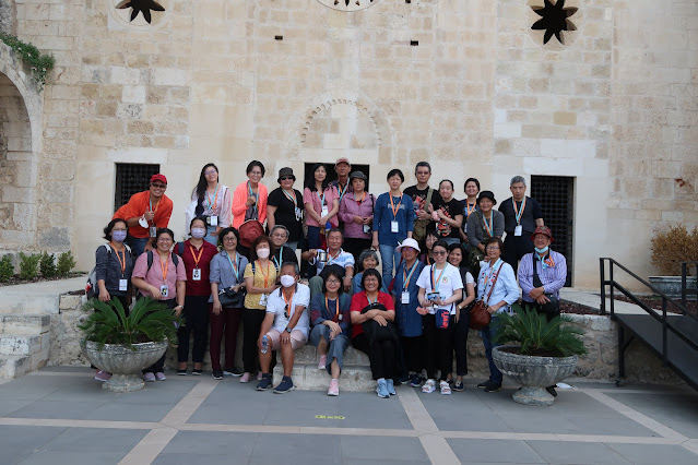
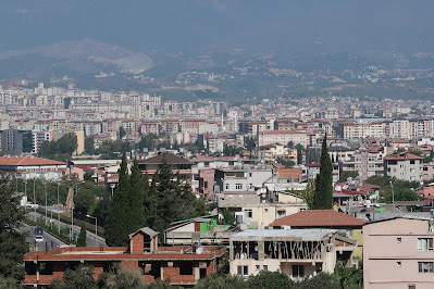
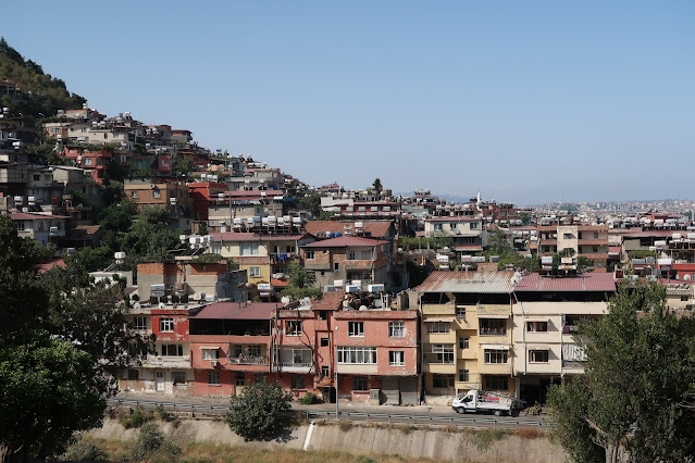
2022年8月29日吉隆坡飞往伊斯坦堡3.30am
2022年8月30日抵步后转机至Hatay机场8.30am
后前往安提阿市区周边的圣彼得石洞教堂
再驱车前往西流基港口(已沒了)
参观提多墜道
Vespasianus Titus Tunnel
Disclaimer
The Tentative Lists of States Parties are published by the World Heritage Centre at its website and/or in working documents in order to ensure transparency, access to information and to facilitate harmonization of Tentative Lists at regional and thematic levels.
The sole responsibility for the content of each Tentative List lies with the State Party concerned. The publication of the Tentative Lists does not imply the expression of any opinion whatsoever of the World Heritage Committee or of the World Heritage Centre or of the Secretariat of UNESCO concerning the legal status of any country, territory, city or area or of its boundaries.
Property names are listed in the language in which they have been submitted by the State Party
Description
Vespasianus Titus Tunnel built during the Roman period is located within the boundaries of the Ancient City of Seleuceia Pieria (Figure1). The antique city Seleuceia Pieria is situated near the actual village Cevlik, 35 km to the southwest of Antakya (the historical city Antioch on the Orontes), at the foot of Nur mountains in eastern Mediterranean coast in Turkey. Seleuceia Pieria was founded towards the end of the 4.century B.C. by Seleukos Nikator I, one of the generals of Alexander the Great. The city was reigned by the Ptolemeans during the second half of the 3.century B.C., and flourished later during the Roman period, beginning in the second half of the 1.century A.D., and became one of the most important ports of the Eastern Mediterranean Region. The upper city is separated from the lower one by steep rocky topography. The lower city, surrounded by fortification walls totaling 12 km, has been developed around the harbour of 16 hectares area.
Since the city was under the threat of the floods descended from the mountains and flowed through the city and the harbour was silted up and became inoperative, the Roman emperor, Vespasianus ordered to build a tunnel by digging the mountain in order to divert the floodwaters threatening the harbour. The diversion system was built with the principle of closing the front of the stream bed with a deflection cover and transferring stream waters to the sea through an artificial canal and tunnel.
The construction began in 1. century A.D. during the reign of the Roman emperor Vespasianus (69-79 A.D.), continued under his son Titus (79-81 A.D.) and his successors, completed in 2.century A.D. during the reign of another Roman emperor, Antonius Pius. A rock-carved inscription at the entrance of the first tunnel section bears the names Vespasianus and Titus, another inscription in the downstream channel that of Antonius.
The diversion system, displaying a broken alignment, consists of: a dam to divert the river flow; a short approach channel; the first tunnel section; a short intermediary channel; the second tunnel section; a long discharge channel.
Dam
The dam to divert the creek flowing into the harbour is a masonry structure of 16 m height, 5 m crest width and 49 m crest length; rising to elevation 44,30 m above sea level. The damming is completed by a shallow embankment of 126 m length towards the upstream direction.
Approach channel
The diversion begins with a 55 m long approach channel, converging to the entrance of the first tunnel section. This is a rectangular open channel, excavated in the karstified limestone formation.
First tunnel section
The first tunnel section, designated as tunnel I, has a simple horseshoe cross-section of 6.3 m width and 5.8 m height at the entrance (Figure.2), being 90 m long. The cross-section changes to an almost rectangular shape three meters after the entrance; and is 6.9 m wide and 6.5 m high at the outlet.
Intermediate channel
The width of the open channel between the first and second tunnel sections decreases to 5.5 m. The height of this 64 m long channel reaches up to 25-30 m and becomes narrower close to the surface, because of former karst solution channels encountered along its alignment.
Second Tunnel Section
The second tunnel section, designated as tunnel II, is 31 m long. Its entrance has a rectangular cross-section with 7.3 m width and 7.2 m height; the outlet is trapezoidal with 5.5 m base width and 7.0 m height (Figure.3). The total length of the two tunnel sections amounts to 121 m. There is a small rock-cut spring water conveyance channel of 0.4 m width and 0.3 m height on the left wall of the tunnels. Shortly after the outlet of the second tunnel section, there is an arch of a bridge, or rather an aqueduct, of 4.5 m height and 5.5 m span width, crossing the channel.
Discharge channel
The open channel serving as the main discharge conduit, following the outlet of the second tunnel section, displays rectangular cross-sections excavated in karstified limestone formations. The widths vary from 3.8 to 7.2 m, the heights from 3.7 to 15 m. The discharge channel is 635 m long; so that the total length of the diversion system is around 875 m.
Hydraulic capacity of the system
The hydraulic capacity of the diversion system is computed as about 70 m3/s, based on determination of water surface levels through step-by-step integration. The hydraulic capacity of the tunnel sections is almost twice of the system, about 150 m3/s.
Justification of Outstanding Universal Value
The Vespasianus Titus Tunnel built during the Roman period is one of the most magnificent remains because of its size and architectural and engineering features as well as having well preserved authenticity comparing with the other remains.
The Vespasianus Titus Tunnel was constructed completely by man power in order to divert floodwaters to prevent silting the harbour. According to the archaeological records and the various epitaphs on the tunnel, Roman legions and slaves worked during its construction. It was created by opening a canal through the bedrock within a short time. This structure with its water canals connecting to the tunnel, the water bridge, the bridge carved into the rock, the cisterns adjacent to the tunnel is not only a tunnel but also is a structure protecting the city against floods and especially preventing silting up of the harbour shaped around the natural lagoon as well as fulfilling the water need of the city during the summer times. It was designed and implemented according to the needs of the Ancient City of Seleukeia Pieria.
It is one of the unique examples of Roman engineering with its planning and implementation process. From the point of the architectural and engineering implementation, the tunnel is a peculiar structure being survived till today without any damage. This man-made structure also bears testimony to the Eastern Mediterranean world and Roman Diplomacy of the 1st and 2nd centuries AD.
Criterion (i): The Vespasianus Titus Tunnel constructed completely by man power in a short time is a marvel of engineering designed and implemented according to the needs of the Ancient City of Seleukeia Pieria. From the point of its construction technique and dimensions, it is a unique structure being survived till today. It is a monumental structure for which the best land use application was executed by taking into consideration of the natural morphological features.
Criterion (iv): From the point of the implementation, the structure with 875mt length is one of the unique structures of the Roman World fulfilling the urban requirements. It is one of the best examples of Roman engineering with its structural features providing solutions for the urban problems. It is also a unique work of Roman engineers, who are well talented especially in the field of water structures. It is peculiar structure with its water canals connecting to the tunnel, the water bridge, the bridge carved into the rock, the cisterns adjacent to the tunnel, protecting the city against floods and especially preventing silting up of the harbour shaped around the natural lagoon as well as fulfilling the water need of the city during the summer times.
西流基位於地中海的東北角,現名為Cevlik Beach,在奧倫提斯(Orontes)河入海口以北約 8 公里,距位於其西北的安提阿城約 24 公里,是古代安提阿城對外的港口。現因河道淤塞已成廢墟。


.JPG)


.jpeg)
.jpeg)
.jpeg)

.jpeg)

.jpeg)

.jpeg)


.jpeg)
.jpeg)
.jpeg)


.jpeg)


.jpeg)